USA Topography and Landforms: Mountains, Plains, and Plateaus
A deep dive into the physical geography of the United States, exploring the formation and significance of its major mountain ranges, vast plains, and intricate river systems.
Learning Objectives by Grade Level
- Elementary (K-5): Identify major US landforms like the Rocky Mountains, Appalachian Mountains, and Great Plains on a map.
- Middle School (6-8): Explain how different landforms were created through geological processes like erosion and tectonic activity.
- High School (9-12): Analyze the impact of topography on climate (e.g., the rain shadow effect) and historical human migration.
- College/Adult Learners: Evaluate the relationship between topography, natural resource distribution, and modern infrastructure development.
Introduction to American Topography
The physical landscape of the United States is a testament to millions of years of geological activity. From the ancient, rounded peaks of the East to the young, jagged mountains of the West, USA topography is incredibly diverse. For anyone engaged in geography education, understanding these landforms is crucial, as they dictate everything from weather patterns to where cities are built. We provide extensive geography resources to help educators bring these concepts to life in the classroom.
Topography is the study of the shape and features of the surface of the Earth. In the context of American geography, it involves mapping the elevation changes that define the continent. This article will guide students through the major topographical zones of the US, explaining not just what they are, but how they came to be and why they matter.

The Appalachian Highlands: Ancient and Eroded
Running parallel to the East Coast, the Appalachian Mountains are among the oldest mountains on Earth, formed hundreds of millions of years ago during the collision of tectonic plates that created the supercontinent Pangaea. Because of their age, they have been heavily eroded by wind and water, resulting in rolling, forested peaks rather than sharp, rocky summits.
Historically, the Appalachians served as a massive barrier to early westward expansion by European settlers. It wasn't until the discovery of passes like the Cumberland Gap and the construction of the Erie Canal that large-scale migration to the interior became feasible. Today, the region is known for its rich coal deposits, a key topic in our geography courses regarding natural resources.
The Interior Plains: The Great Expanse
Between the Appalachians in the East and the Rockies in the West lies the vast Interior Plains. This massive topographical region is generally divided into the Central Lowlands (the Midwest) and the Great Plains (stretching to the foothills of the Rockies). The topography here is characterized by flat or gently rolling terrain.
The flatness of the plains is a result of ancient shallow seas that once covered the area, leaving behind thick layers of sedimentary rock. Later, glaciation flattened the landscape further and deposited rich soils. This topography makes the region ideal for large-scale, mechanized agriculture, cementing its status as the agricultural heartland of the United States.

The Rocky Mountains and the Continental Divide
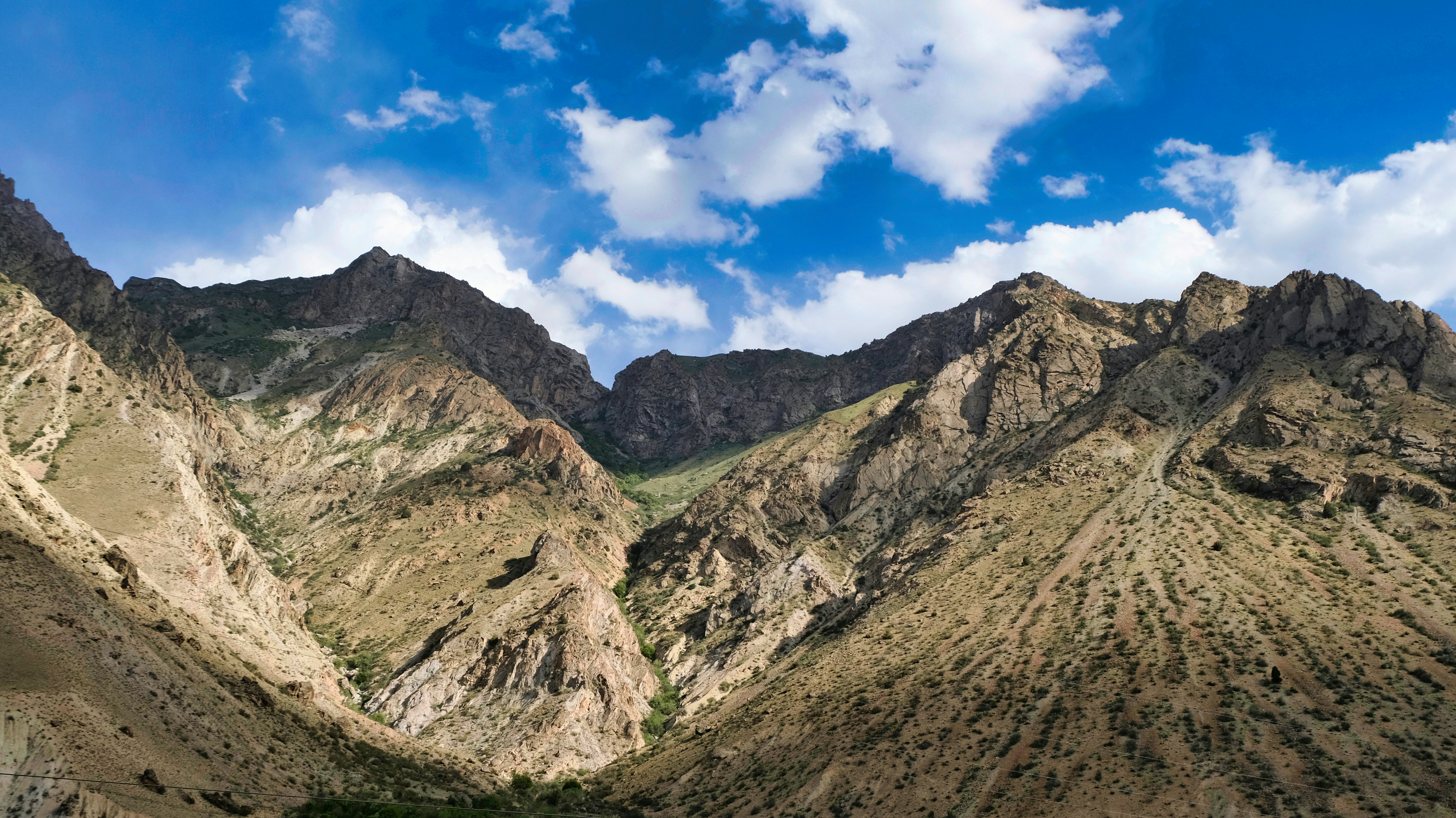
The Rocky Mountains are the defining topographical feature of the American West. Unlike the Appalachians, the Rockies are relatively young (formed 55-80 million years ago) and feature high, rugged peaks. They stretch from New Mexico all the way up into Canada.
A critical concept in USA geography facts is the Continental Divide, which runs along the crest of the Rockies. This hydrological divide determines the directional flow of rivers: water falling to the east flows toward the Atlantic Ocean or Gulf of Mexico, while water falling to the west flows toward the Pacific Ocean. This topography heavily influences regional climates, creating a "rain shadow" that causes the arid conditions of the Great Plains.
The Intermontane Plateaus and Basins
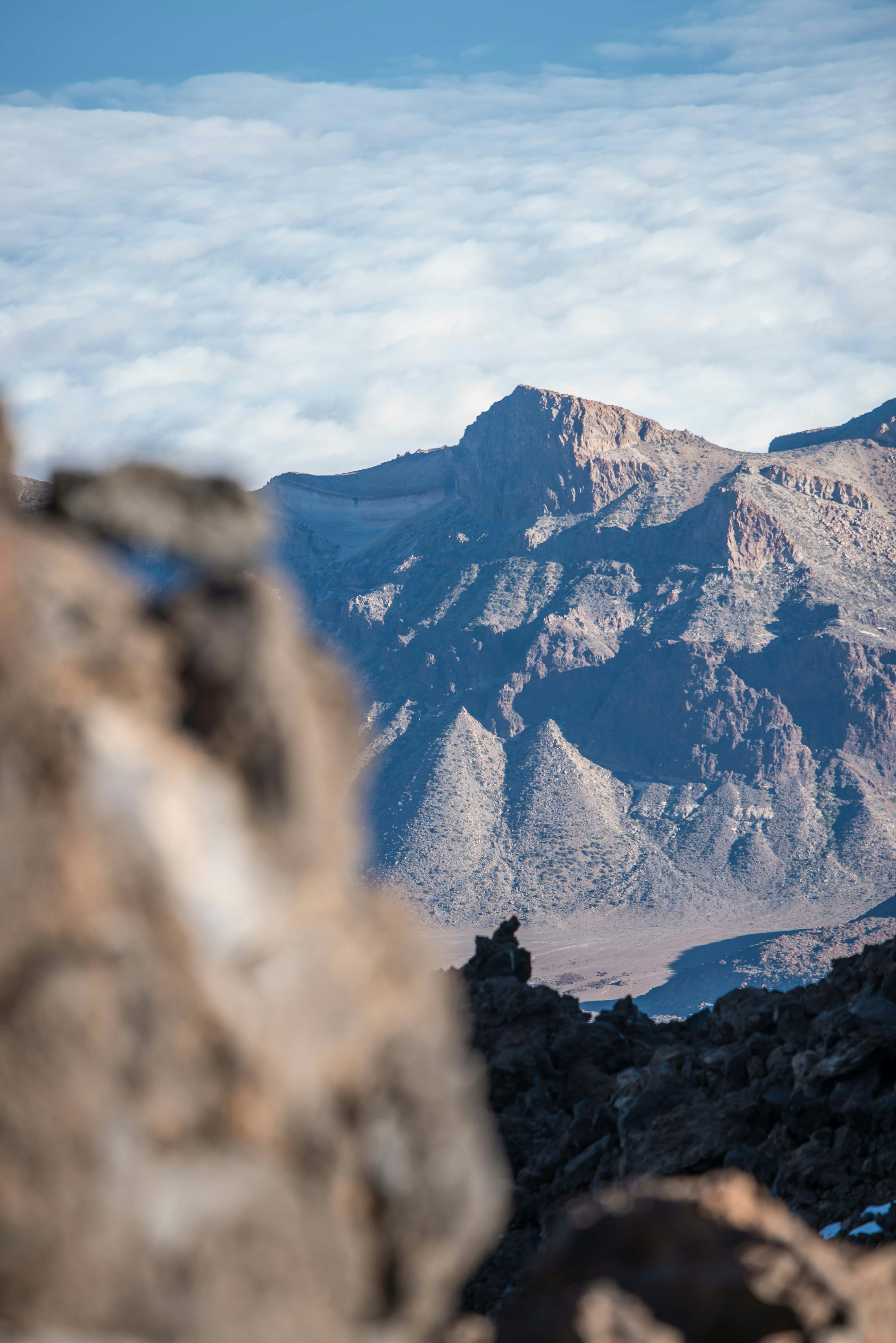
West of the Rockies and east of the Sierra Nevada/Cascade ranges lies a complex region of high plateaus, deep canyons, and isolated mountain ranges known as the Intermontane Region. This area includes the Colorado Plateau (home to the Grand Canyon) and the Great Basin.
The Great Basin is unique because it features internal drainage; rivers and streams here do not reach the ocean but instead flow into lakes or evaporate in salt flats (like the Great Salt Lake in Utah). The topography here is stark and arid, providing fascinating case studies for geography teaching regarding desertification and water management.
Major US Topographical Regions
| Topographical Region | Location | Key Features | Geological Age |
|---|---|---|---|
| Appalachian Mountains | Eastern US | Rolling, forested peaks, coal deposits | 480 million years |
| Interior Plains | Central US | Flat terrain, fertile soil, river valleys | Varies (shaped by recent glaciation) |
| Rocky Mountains | Western US | High, rugged peaks, Continental Divide | 55-80 million years |
| Intermontane Plateaus | Between Rockies & Sierras | Canyons, high deserts, internal drainage | Varies (highly active erosion) |
| Pacific Mountain System | West Coast | Volcanoes, fault lines, coastal cliffs | Currently active |
Discussion Questions for the Classroom
- Compare and contrast the physical appearance and geological age of the Appalachian Mountains and the Rocky Mountains.
- How did the topography of the Interior Plains contribute to the United States becoming a global agricultural leader?
- Explain the concept of the Continental Divide. How does it affect the water systems of North America?
- What is a "rain shadow," and how do the western mountain ranges create arid conditions in the interior US?
- Discuss how the rugged topography of the West Coast impacts infrastructure and urban development.
Fun Facts About USA Topography
- Mount Denali in Alaska is the highest peak in North America, reaching 20,310 feet (6,190 meters) above sea level.
- The Grand Canyon, carved by the Colorado River, is up to 18 miles wide and over a mile deep.
- Florida is the flattest state in the US, with its highest point (Britton Hill) being only 345 feet above sea level.
- The Great Basin is the largest area of contiguous endorheic (internal) watersheds in North America.
- Mauna Kea in Hawaii is technically the tallest mountain in the world if measured from its oceanic base to its peak.
Glossary of Terms
- Topography: The arrangement of the natural and artificial physical features of an area.
- Continental Divide: A drainage divide on a continent such that the drainage basin on one side of the divide feeds into one ocean or sea, and the basin on the other side either feeds into a different ocean or sea.
- Endorheic Basin: A limited drainage basin that normally retains water and allows no outflow to other external bodies of water, such as rivers or oceans.
- Glaciation: The process, condition, or result of being covered by glaciers or ice sheets.
Frequently Asked Questions (FAQ)
What is the difference between topography and geography?
Geography is the broad study of the Earth's physical features and human populations, while topography is a specific sub-branch focused on the detailed mapping of surface features and elevation.
What is the largest landform in the United States?
The Interior Plains (including the Great Plains) make up the largest single topographical region in the US, covering much of the central continent.
How do mountains affect weather?
Mountains force air to rise and cool, causing precipitation on the windward side and creating dry "rain shadows" on the leeward side, drastically altering local climates.
Why are the Appalachian Mountains smaller than the Rockies?
The Appalachians are hundreds of millions of years older than the Rockies. Over time, wind, water, and ice have eroded their peaks, making them shorter and rounder.
What is the lowest point in the United States?
Badwater Basin in Death Valley, California, is the lowest point in North America at 282 feet (86 meters) below sea level.